NVISPropagation maps
Version 3.0 💾 338 Kb
📅 Updated January 29,

Features NVISPropagation maps
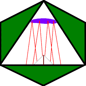
Near Vertical Incident Skywave Propagation maps for all locationsFor Near Vertical Incident Skywave operations (NVIS) you need to know the maximum usable vertical frequency for the location of the transmitter given by longitude and latitude entry.
The current solar activity can be set between sun spot number SSN 0 to 150 in steps of 10 for each month.
Touch global to see the global map f0F2 for the entered values.
You can see the local map with a 300Km circle radius by NVIS definition the operating area.
The color inside the circle is the usable frequency.
The local map area is selectable between 5 degrees and 45 degrees.
Each change required a short new computation.
There are 3 maps: f0F2, MUF=f0F2 * 0.9 and FOT=f0F2 * 0.85 .
Remind the touch zones shown in the start display and touch the map to step trough the daytime UTC forward and back, select f0F2, MUF or FOT and select the color scale.
Settings are retained at the end of the app.
The frequency map 90x90 grid is computed using the HFMUF ionospheric model.
Real values of f0F2 are shown at http://hflink.com/propagation/
Gaming Features
Enjoy immersive gaming experience with various game modes.
Offline Mode
Use the app without an internet connection. Your data syncs when you're back online.
Personalization
Customize the app to match your preferences and workflow.
See the NVISPropagation maps in Action


Get the App Today
Available for Android 8.0 and above